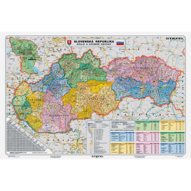
Map of Slovakia - Regions and territorial districts
[Code: NM047307]
The administrative map of the Slovak Republic is updated for 2015. The map of higher territorial self-governing units shows all the municipalities of the Slovak Republic, the complete water and road network. The legend is expanded with statistical data on individual regions, namely the area, number of inhabitants, number of municipalities. The register is part of the map. The map is suitable for permanent display. It is laminated on both sides. Supplied with white strips with a hook for hanging.
Dimensions: 140x100 cm
Scale: 1: 300,000